|
48°F / 9°C Moderate Breeze Time: 3:58pm GMT Sunset in 30 minutes Current Weather >> |
Saturday, January 17, 2026
|
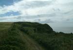
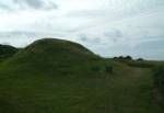
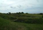
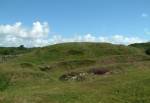
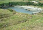
You are here: Isle of Man > Attractions > Early Historical Sites > Promontory Forts HistoryCronk ny Merriu is a coastal promontory fort with defensive ditch and rampant. The high ground location offers good views of the surrounding coast. The small size of the fort and poor access to water, would have meant it could not hold out long in the event of a raid.Behind the fort are the remains of a homestead. Originally believed to have been build in the Celtic Iron Age it was later re-occupied during the Norse Period. The site has a building nearly rectangular in construction with three doorways and a standard Norse central hearth. Remains of this building are clearly visible. LocationIn the south of the Island near Santon, overlooking Port Grenaugh.Map Ref: SC 317 704 By Vehicle: Take the A25 around Santon to the B25 leading to the coast and the site. By Bus: Take the no. 1 or 2 bus routes from Douglas, Castletown, Port Erin or Port St. Mary to Ballachurry. Then walk (just over a mile) on the B26 to the B25 and on to the coast. By Railway: Take the Electric Railway to Douglas. Take the Steam Railway to Santon. Then walk (just over a mile) on the B26 to the B25 and on to the coast. |
     |
|
Other Guides by Maxima Systems Ltd: Disney World
